REAL ESTATE
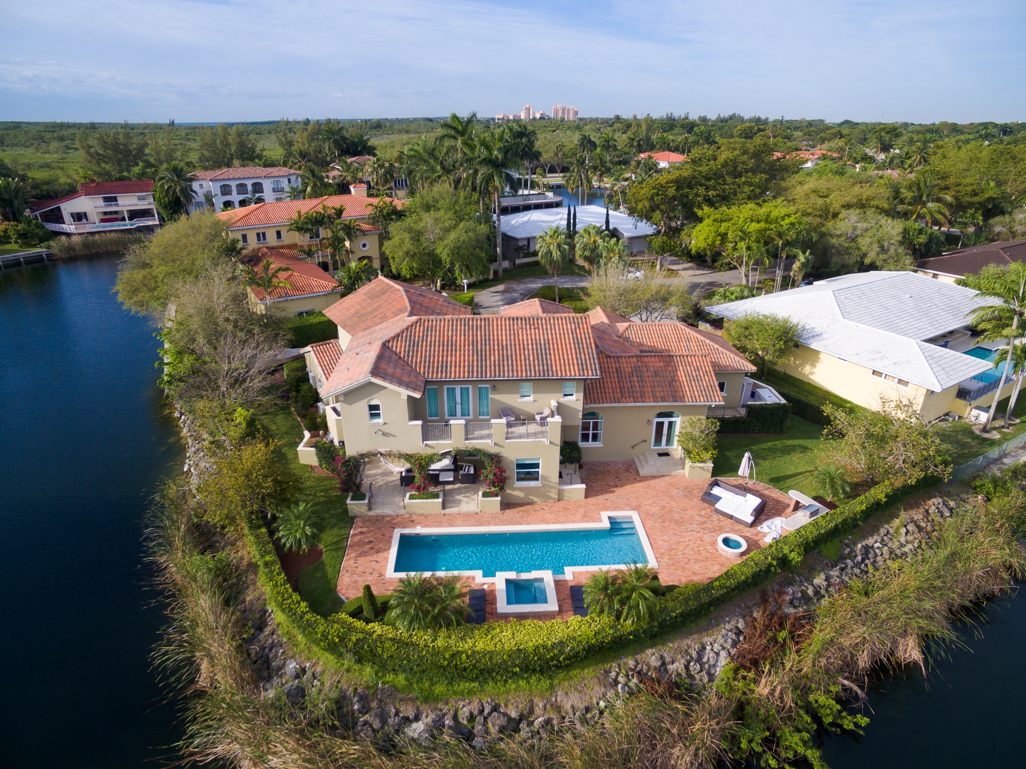
Does your business relate to the commerce of Real property?
We provide aerial photography and mapping for land developers by utilizing GNSS RTK capable GPS for maximum precision.
We are authorized by the FAA to provide commercial aerial photography services to REALTOR®'s.
CONTACT US TODAY!
Phone: +1 813-702-1161Email: info@sunstateuav.com